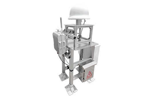
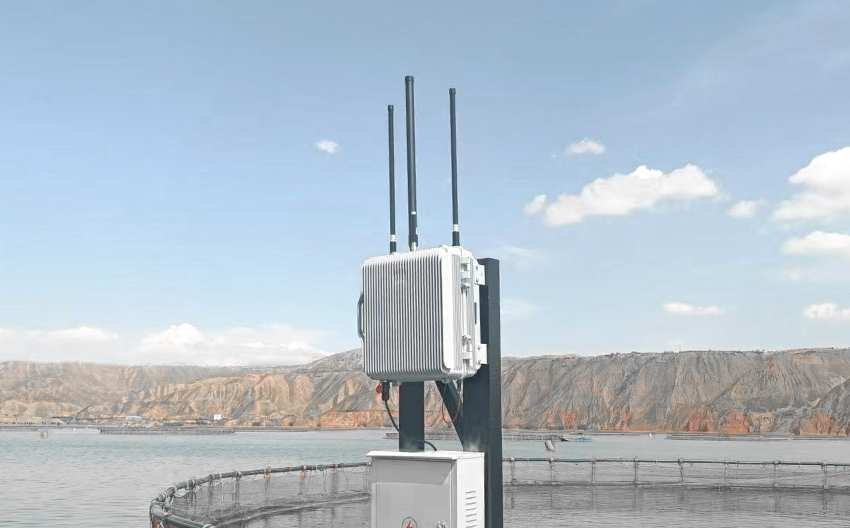
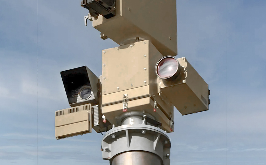
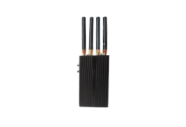
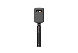
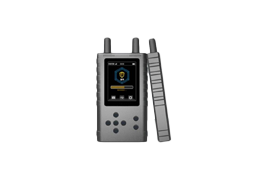
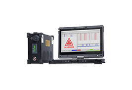
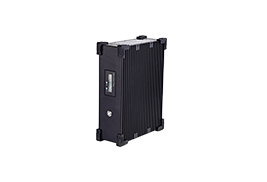
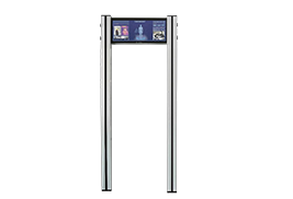
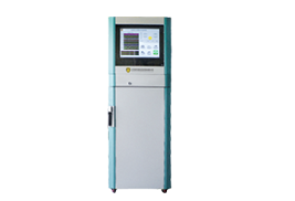
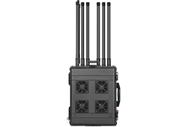
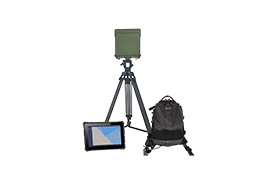
The UADS-PZ 04 UAV defense system, specifically developed to deal with various security threats posed by the "black fly" UAV, is integrated by a radio spectrum monitoring system and a navigation decoy system. The radio spectrum monitoring system passively intercthe map transmission signal and remote control signal between the UAV and the remote control to realize the passive detection and identification of the UAV. When identifying the drones into the zone after open navigation decoy system, drone navigation decoy system by radiation low power regeneration navigation satellite signal (power is not greater than 10 dBm), into the "black" uav navigation system, so as to realize the need to use navigation system for flight control drones intercept control, make it cannot fly into the protected area, ensure the safety of the area.

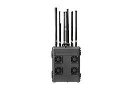
The equipment integrates radio spectrum monitoring and uav navigation and decoy system, which can realize the two major functions of uav detection and navigation and decoy;
Using passive detection, can deceive the navigation terminal of the UAV, effective method 99% of the market with navigation UAV;
All-day, all-weather, unattended;
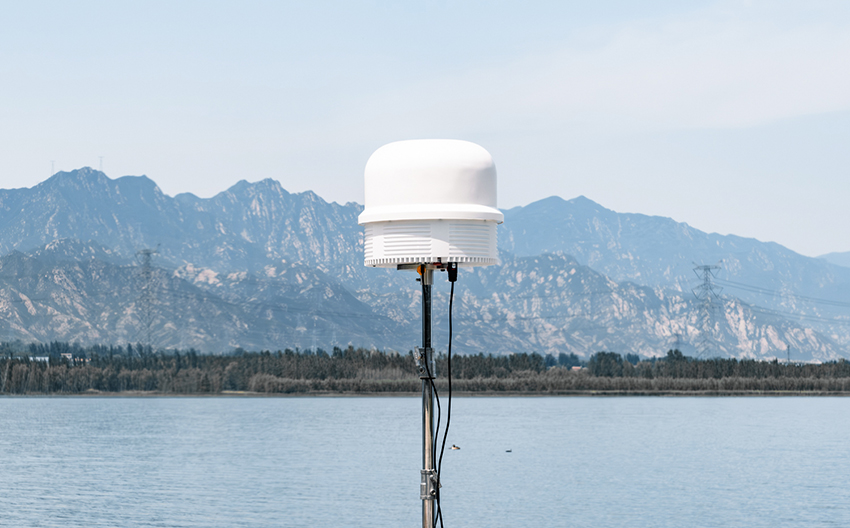
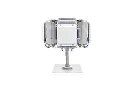
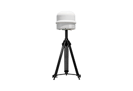
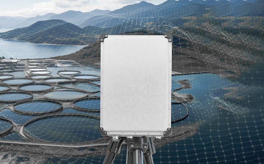
omnidirectional antenna, no protective blind area, detection distance 3000M, decoy distance 1000M;
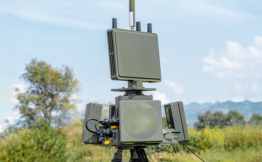
The system can expand and integrate radio interference function, integrating detection, decoy and interference functions, and support single machine work and networking work. A combination of multiple countermeasures to easily deal with cluster saturation attacks;
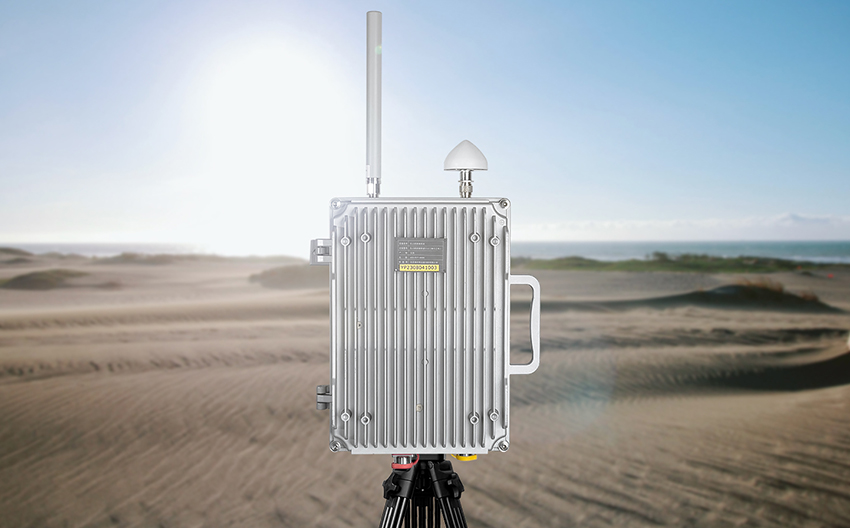
The transmitting power is <10 mW, which meets the national radio management conditions and the Technical requirements of the Ministry of Industry and Information Technology;


 X
X

 GLOBAL / ENGLISH